
Ohio and Erie Canal Towpath Trail
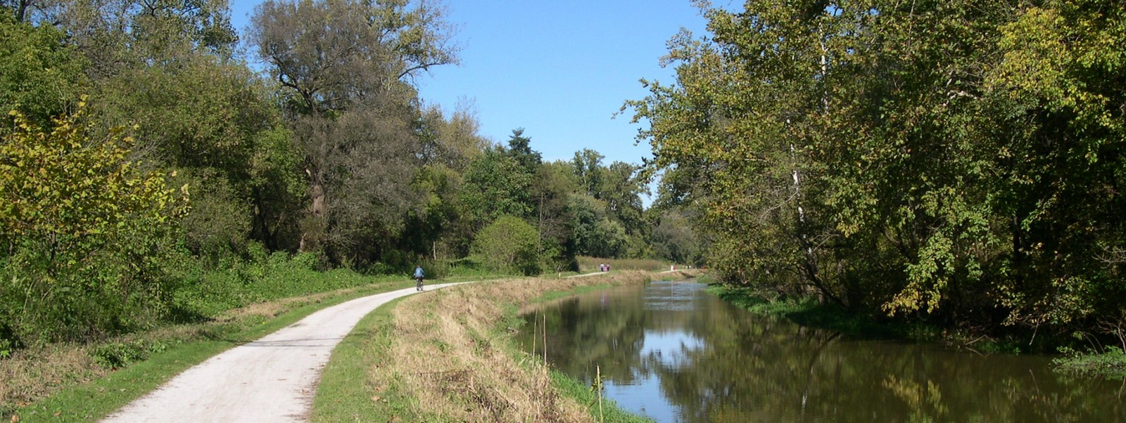
The Ohio and Erie Canal Towpath Trail is one of the most popular bike trails in northern Ohio. When completed this trail will start at Lake Erie in Cleveland and end at Zoar in Tuscarawas County. Total length will be over 100 miles.
Because of its great length I have divided it's description into several sections beginning with the northernmost end of the trail. A good overview of the trail can be found by clicking the following outside link. http://www.ohioanderiecanalway.com/Main/Home.aspx
Cleveland Metroparks
At present the trail begins at Harvard Ave. near Cleveland and travels southward to Rockside Road where the trail then continues on as part of the Cuyahoga Valley National Park.
Along the trail can be found benches, restrooms and a number of displays describing the industrial history if the area.
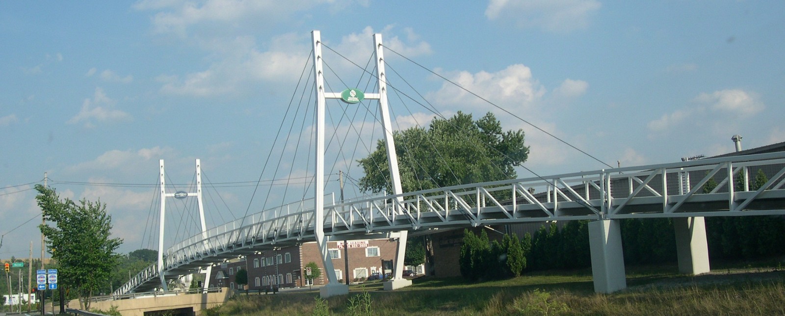
The highlight of this part of the trail is the Canalway Visitor Center which is located on E 49 street in Cuyahoga Hts. The visitor center contains a museum and located nearby is a section of the canal which is open to fishing.
Future plans are to extend the trail northward from Harvard Ave. to downtown Cleveland.
External link - Cleveland Metroparks
Cuyahoga Valley National Park
Information on this section of the trail can be found on the Cuyahoga Valley National Park page.
Akron

External link - Summit Metro Parks (Maps & Directions)
Canal
Fulton
External link - www.starkparks.com
Tuscarawas County
External link - Tuscarawas County Parks
|
|
Home Trails Counties Photos Links
![]()
Copyright 2004-2026