Saturday, June 22 -- I had arranged to have Headwaters Outfitters near Rosman, NC, drive us in our van to the start of
the hike and then leave our van at the end of the hike. They charged $75. If we had a cell phone and called at the end for
the van, it would have been $50. From Oconee State Park, we drove north on SC107 to SC413, turned right,
drove about 2 miles to 281, turned left, drove about 10 miles to 64 (crossing the Whitewater River on the way), turned right,
and drove about 10 miles to Headwaters Outfitters. We were right on time and they were ready for us. We backtracked to the
Whitewater River. The girl shuttling our van, Christine, was very helpful. She reminded us to take maps, which I was going to forget,
and she said she would put a cable lock on our kayaks.

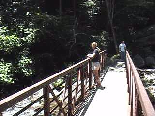
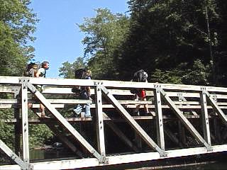
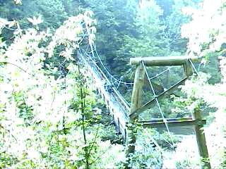
The only real confusion over the trail was at the very beginning.
We started down river left only to have the trail end. We went back to the bridge and found the trail on the river right
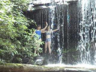
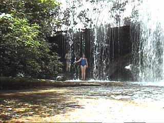
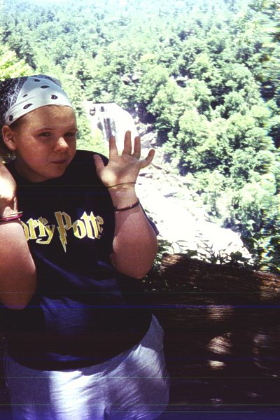
side. We reached the overlook for Upper Whitewater Falls after about .5 mile.


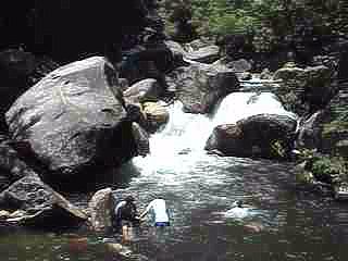
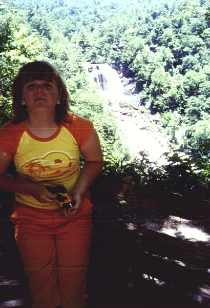
Angie and Missy at Upper Whitewater Falls
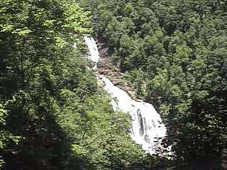
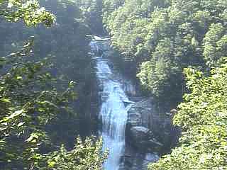
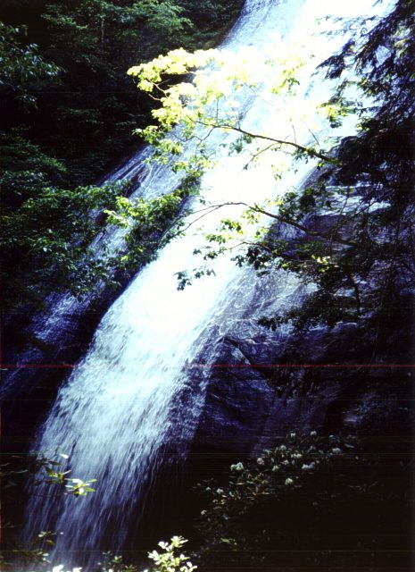
Upper Whitewater Falls
 |
 |
Angie and Missy at Upper Whitewater Falls