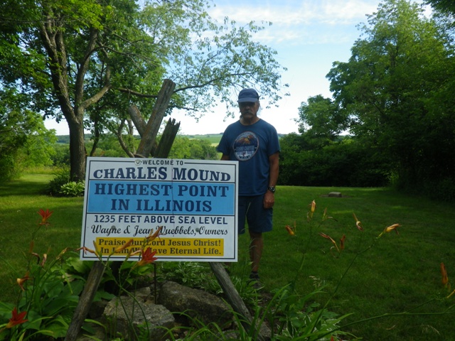
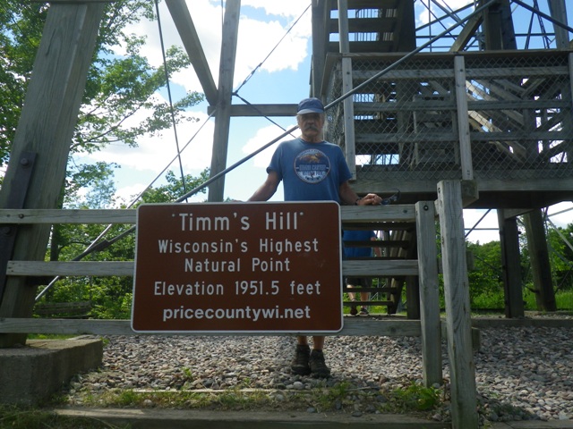
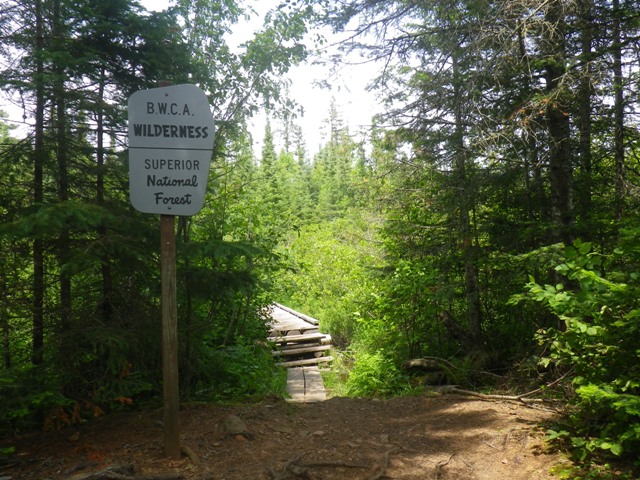
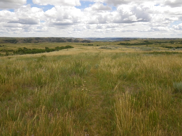
This page describes a two week trip to the upper midwest that includes four highpoints.
Thursday, June 30, 2016 - I drove west to Indianapolis and then north to Starved Rock State Park near Utica, IL. It is along the Illinois River. There
are 18 canyons. In the evening I parked at Parkman's Plain and hiked to Hennepin Canyon Overlook and back.

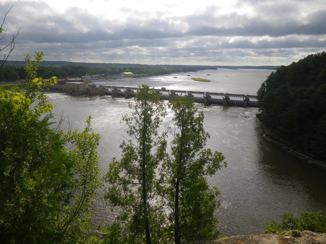
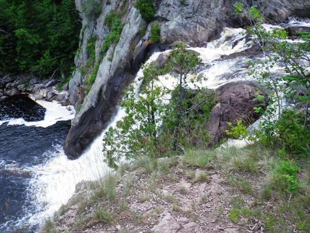
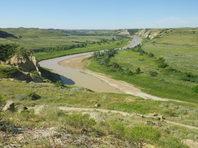
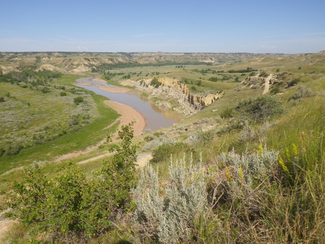
Illinois River from Hennepin Canyon Overlook
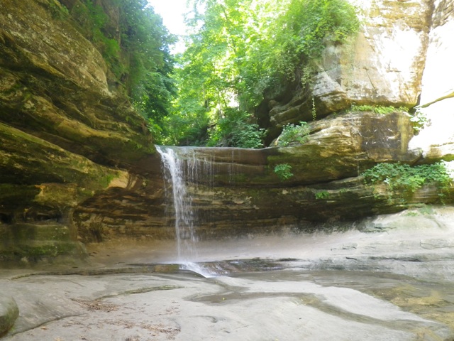
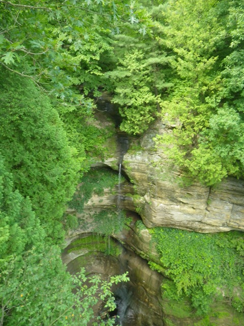
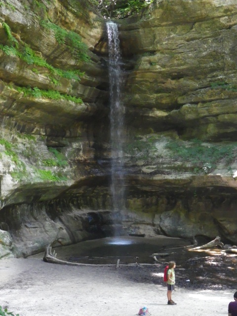
Friday, July 1, 2016 - I hiked from the visitor center to LaSalle Canyon and back and then drove to the western edge of the park and hiked to St. Louis
Canyon.
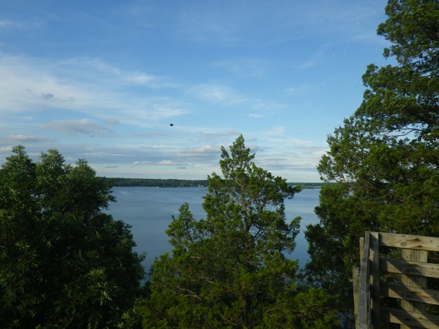
Illinois River from Hennepin Canyon Overlook
Friday, July 1, 2016 - I hiked from the visitor center to LaSalle Canyon and back and then drove to the western edge of the park and hiked to St. Louis Canyon.