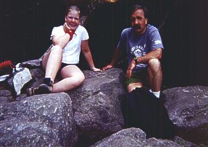
Saturday, June 15, 2002 - We kayaked from Thurmond to Cunard on the New River (class II).
Sunday, June 16, 2002 - We kayaked from Glade Creek to Grandview Sandbar on the New River (class II).
Monday, June 17, 2002 - We did laundry in Fayetteville. Angie had been hurling all night. Don't take Alka-Seltzer when you're hurling. We drove south on 19 and I-77 to I-81. We took I-81 south to Marion, VA and 16 south. 16 south led to 58 west and 362 north to Grayson Highlands State Park.
 Tuesday, June 18, 2002 - We started from the Massie Gap parking area and hiked the
Appalachian Spur Trail to the Appalachian Trail to Mount Rogers.
Tuesday, June 18, 2002 - We started from the Massie Gap parking area and hiked the
Appalachian Spur Trail to the Appalachian Trail to Mount Rogers.There is no view from Mount Rogers. It is surrounded by trees. The USGS marker was embedded in a rock.


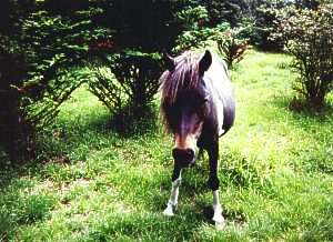
The views on the trail to Mount Rogers more than make up for the lack of one at the summit. We passed two different herds of wild ponies. The ponies would approach us.


The rhododendron was in full bloom. In places we walked through tunnels of rhododendron. We passed a shelter and a solar toilet on the Appalachian trail. There was a small spring behind the shelter. I'm not sure what the solar panel powers in the toilet, maybe a fan. My camera's battery died on the hike up. The pictures were taken by Angie and Missy. On the return hike, we took the rhododendron trail and part of the horse trail back to the Massie Gap parking area instead of the Appalachian Spur Trail. It was about 1/2 mile shorter. Round trip mileage was about 9 miles. This was an exceptionally beautiful hike, one I will never forget.
